Park
Yarranabbe Park
The harbour foreshore at the foot of the peninsula.
Yarranabbe Park is the public harbour foreshore at the foot of the Yarranabbe peninsula. It opens onto Rushcutters Bay where the peninsula meets the city, looks west toward the bridge and the Opera House, and is — on two days of the year, the last and the day after Christmas — one of the most reliable vantage points on the eastern harbour.
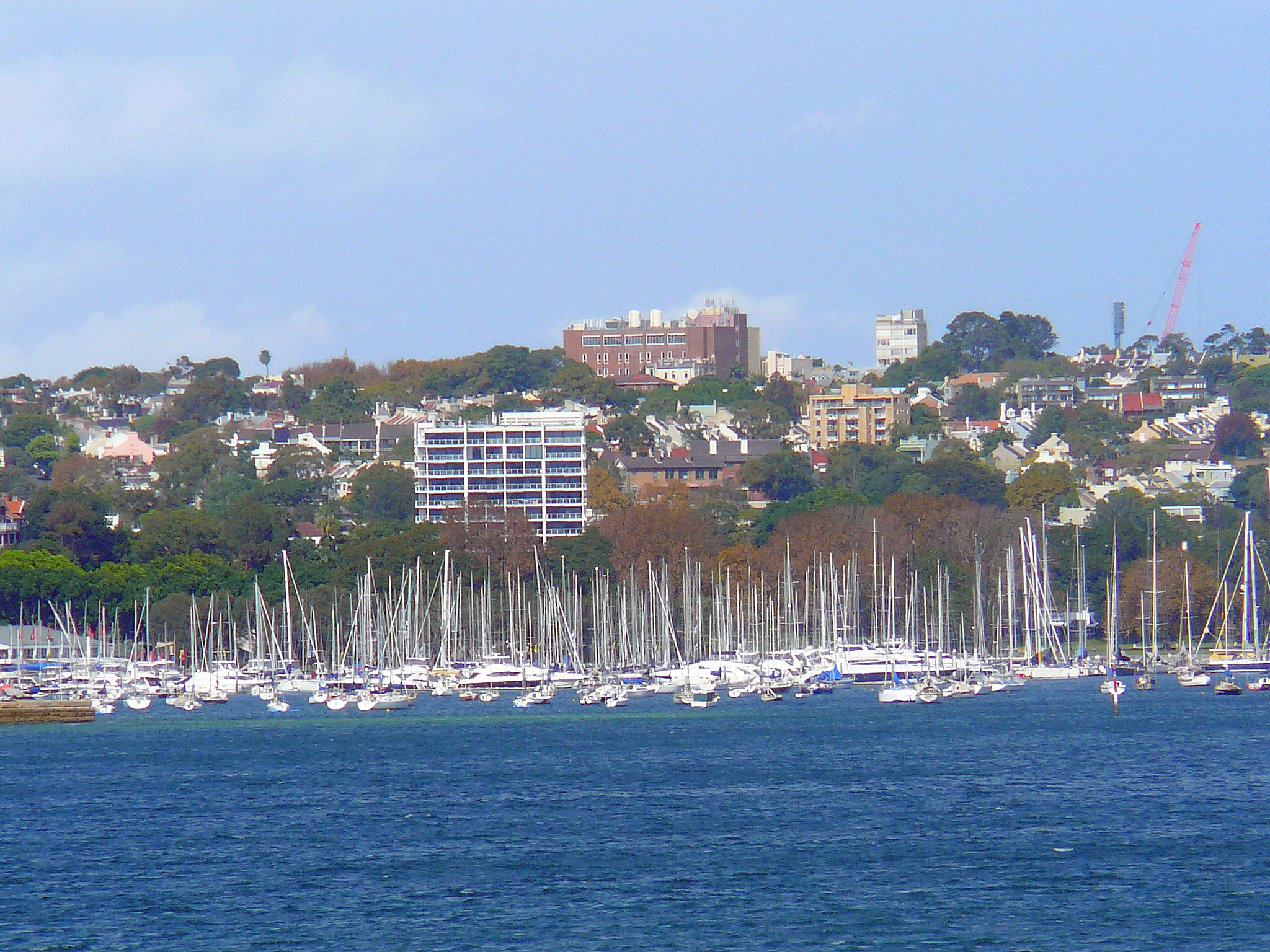
The park is the green foot of the peninsula. It occupies the foreshore on the western, Rushcutters Bay side, where Yarranabbe Road meets New Beach Road, and runs along the harbour edge toward the city. From the lawn the view is direct and unobstructed: the marina of the Cruising Yacht Club of Australia immediately at the foot of the grass, the open water of Garden Island and Woolloomooloo across the bay, and the Sydney CBD, Harbour Bridge and Opera House strung along the western horizon. It is among the closest publicly accessible pieces of harbour foreshore to the centre of Sydney, and it is open every day of the year.
How the park was assembled
Yarranabbe Park is older as land than as a name. The reserve was assembled in three pieces, each gazetted in turn for public recreation: smaller sections in 1926 and 1939, and the largest portion — the ground abutting the boatshed of the adjoining naval depot, HMAS Rushcutter — gazetted on 23 October 1953. For the next two decades the combined ground was simply known as the public reserve north of HMAS Rushcutter. On 22 November 1971, Woollahra Municipal Council passed a resolution formally renaming the reserve Yarranabbe Park, in acknowledgement of the Gadigal name for the headland it sits beneath.
The naval ground next door — HMAS Rushcutter and Sir David Martin Reserve
Naval use of the adjoining ground began in 1901 with the New South Wales Naval Brigade. The Royal Australian Navy's Anti-Submarine School became operational on the bay in February 1939, and the depot was formally commissioned as HMAS Rushcutter on 1 August 1940. It paid off in 1956, recommissioned in 1957, and finally paid off in July 1968. The Royal Australian Navy Experimental Laboratory continued on site for another decade, until in 1979 the Commonwealth transferred the land to New South Wales for public recreation.
That ground is now the Sir David Martin Reserve, named for the late Governor of New South Wales and former Rear Admiral. The reserve retains a number of the original naval buildings — the Cottage, the Drill Hall, the Sayonara Slipway, the Sail Loft and the RANSA Boatshed — all listed as heritage structures. The Cruising Yacht Club of Australia and the Royal Australian Navy Sailing Association share the foreshore with these. Yarranabbe Park is the immediately adjacent council reserve to the east, separated only by the line of the old naval boatshed.
The Sydney to Hobart, 1 pm Boxing Day
Once a year, the foreshore in front of Yarranabbe Park becomes one of the best free positions in Sydney from which to watch a yacht race begin. At one o'clock on Boxing Day, the fleet for the Rolex Sydney Hobart — the eighty-plus boats that have wintered, prepared and crewed for the race — leaves the CYCA marina next door under spectator escort, motors out into the harbour, and forms up for the start lines off Nielsen Park in Vaucluse. The start guns themselves fire about three kilometres east of the park, out of direct sight; but the fleet's departure procession — the boats casting off, motoring past with sails covered, the spectator armada gathering — happens within a hundred metres of the park's western lawn, in real time, every year. It is the kind of small Sydney ritual that locals plan around and visitors stumble into.
The New Year's Eve vantage point
For the night of 31 December, the park is one of the City of Sydney's officially designated public vantage points for the harbour fireworks. It is managed for the night by Woollahra Council. Three things to know about the local pattern:
Entry is free, no tickets are issued, and the park is run as a first-come ground from earlier in the day. The vantage is alcohol-free and family-friendly; picnics are permitted, and small food and beverage operations are typically on site. Road closures on the peninsula begin at 3 pm — first New Beach Road and Loftus Road, then progressively Annandale, Darling Point, Hampden, Mona, Greenoaks and Yarranabbe Roads from around 6 pm — and remain in place until early on 1 January. Walking access is the practical way in, from Edgecliff station or from the Rushcutters Bay foreshore.
The view itself is the reason the park is on the official list: the bridge and the principal pyrotechnic barges sit due west across the open water of Rushcutters Bay and Garden Island, with no intervening foreshore.
The foreshore walk
Yarranabbe Park is a single segment of one of Sydney's better short harbour walks. The path connects directly to Rushcutters Bay Park to the south — sports fields, café, kiosk — and from there continues along the foreshore into Beare Park at Elizabeth Bay (about a kilometre on), and eventually to the Royal Botanic Garden and Mrs Macquaries Point (roughly three kilometres on). McKell Park, at the opposite, northern tip of the Darling Point peninsula, is approximately a kilometre away by road but is not reached by a continuous foreshore path — the eastern face of the peninsula is private waterfront.
Getting there
The park is at the foot of New Beach Road, a short walk from Edgecliff railway station via Rushcutters Bay Park, and directly accessible from Yarranabbe Road via the southern end of the Darling Point peninsula. There is on-street parking on New Beach Road and Yarranabbe Road, with the usual eastern suburbs restrictions. The peninsula's main public ferry wharf is at McKell Park at the opposite, northern end, served by Sydney Ferries on the F7 Eastern Suburbs route.